Hiking on the Canyon Trail
Our hidden treasure from
Thursday, November 20, 2014
suggested by
Sebastian Bräuer.

You want to leave the city behind you and spend a day outside, experiencing the beautiful and diversified landscape near Münster and catch a glimpse of the famous Teutoburg Forest? Why not go hiking in Lengerich!
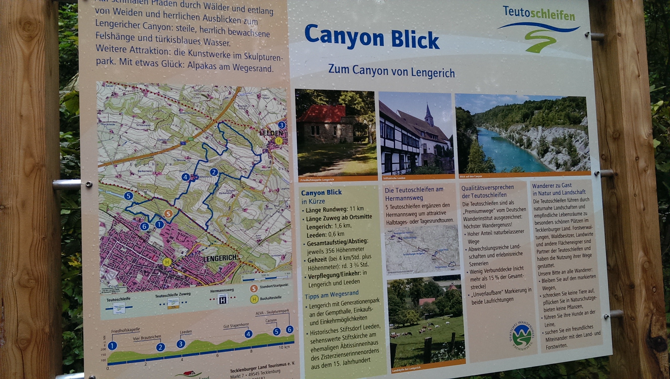
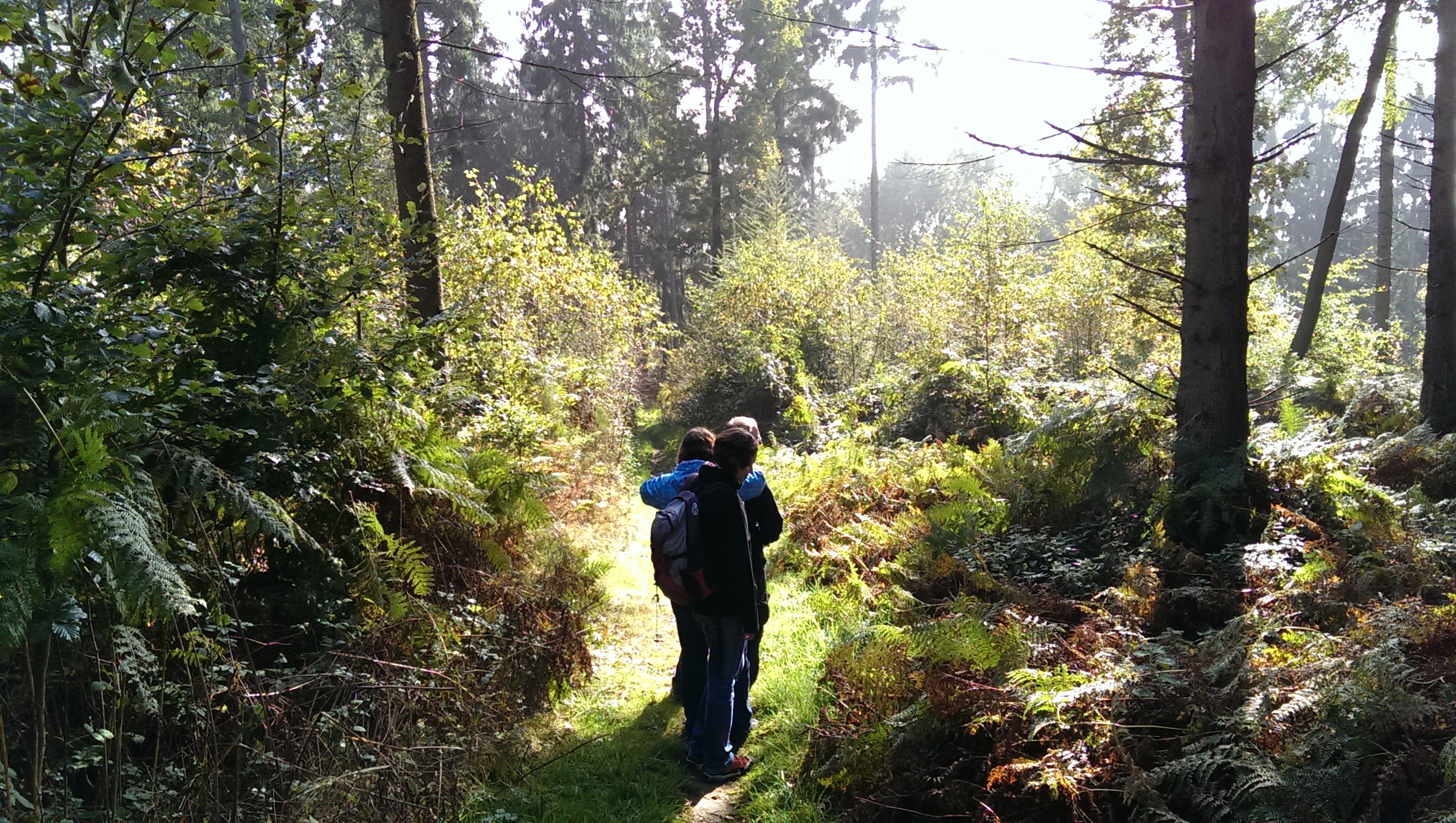
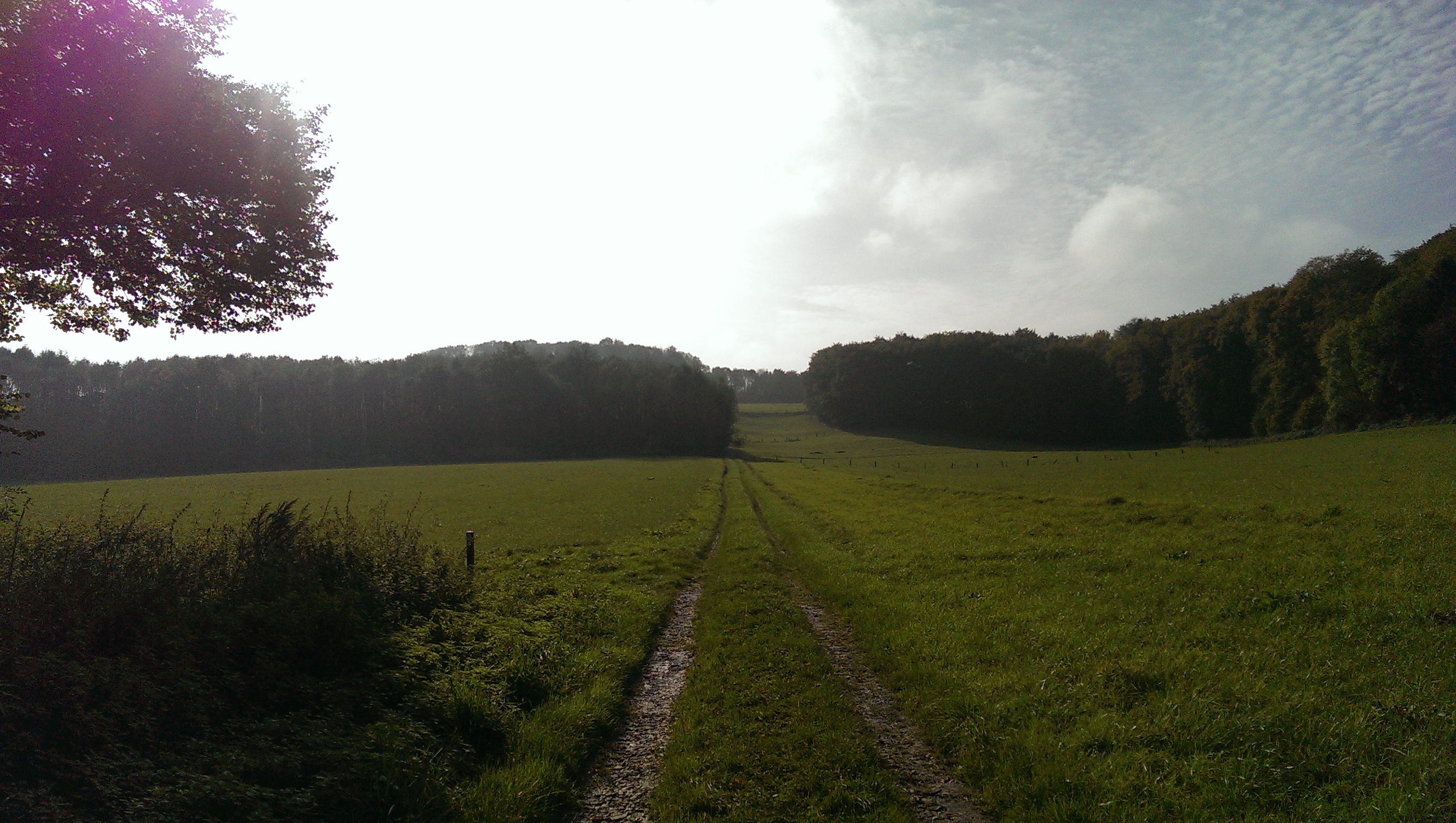
This route called “Canyon Blick” (Canyon View) will set you on an 11 km long round hiking trail. During the about 33/4 long trip you can experience several spots with a splendid view and with good luck, you might even see the dome of Osnabrück in the north. The trail takes you through the forest, over meadows and past several farms before you arrive at a recultivated stone pit. Although you will get through about 356 m difference in attitude, you do not need to be equipped with hiking boots or walking sticks. You can stop for a bite to eat in Leeden or Lengerich, which can easily be reached from the trail. However, I can only recommend you to take some cheese, half-smoke and bread from the farmer’s market beside the dome of Münster in the morning and take a break on one of the benches beside the trail during your trip. The trail itself is perfectly signposted so that you do not need to be equipped with a map of trails. You just have to follow the signs labelled as “Canyon Blick”.
For reaching the small graveyard chapel, which is the starting point of the tour, you can take the train from Münster Central Station to Lengerich (takes about 20 minutes). From the station in Lengerich you take the bus R45 towards “Ibbenbüren Busbahnhof” and exit the bus after about 6 minutes at the stop “Feuerwehrhaus” (fire station). Here you follow the signs labelled “Teutoschleife Zuweg” that bring you directly to the round hiking trail (about 15 minutes). As an alternative, you can also directly take the Bus R51, which starts at the bus station platform in front of Münster’s central station and brings you directly to the fire station in Lengerich (last stop) in about 70 minutes. The frequency for both means of travel is once per hour. You should check for the latest returning date when you leave the bus at the fire station in Lengerich.
Further information about the trip (including a printable map and the GPS track) can be found here: http://www.tecklenburger-land-tourismus.de/urlaubsregion/wandern/teutoschleifen/canyon-blick.html (unfortunately only in German; you might want to try google translate).
Show me, show me, show me!!!


Where to find this gem
Show on Google MapsSee a list of all the other ToWs that have been published until now.


